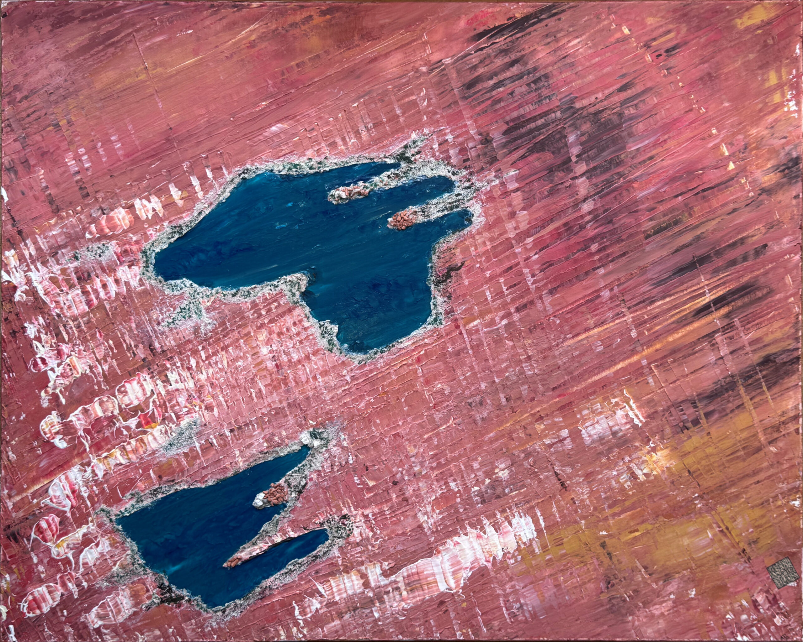
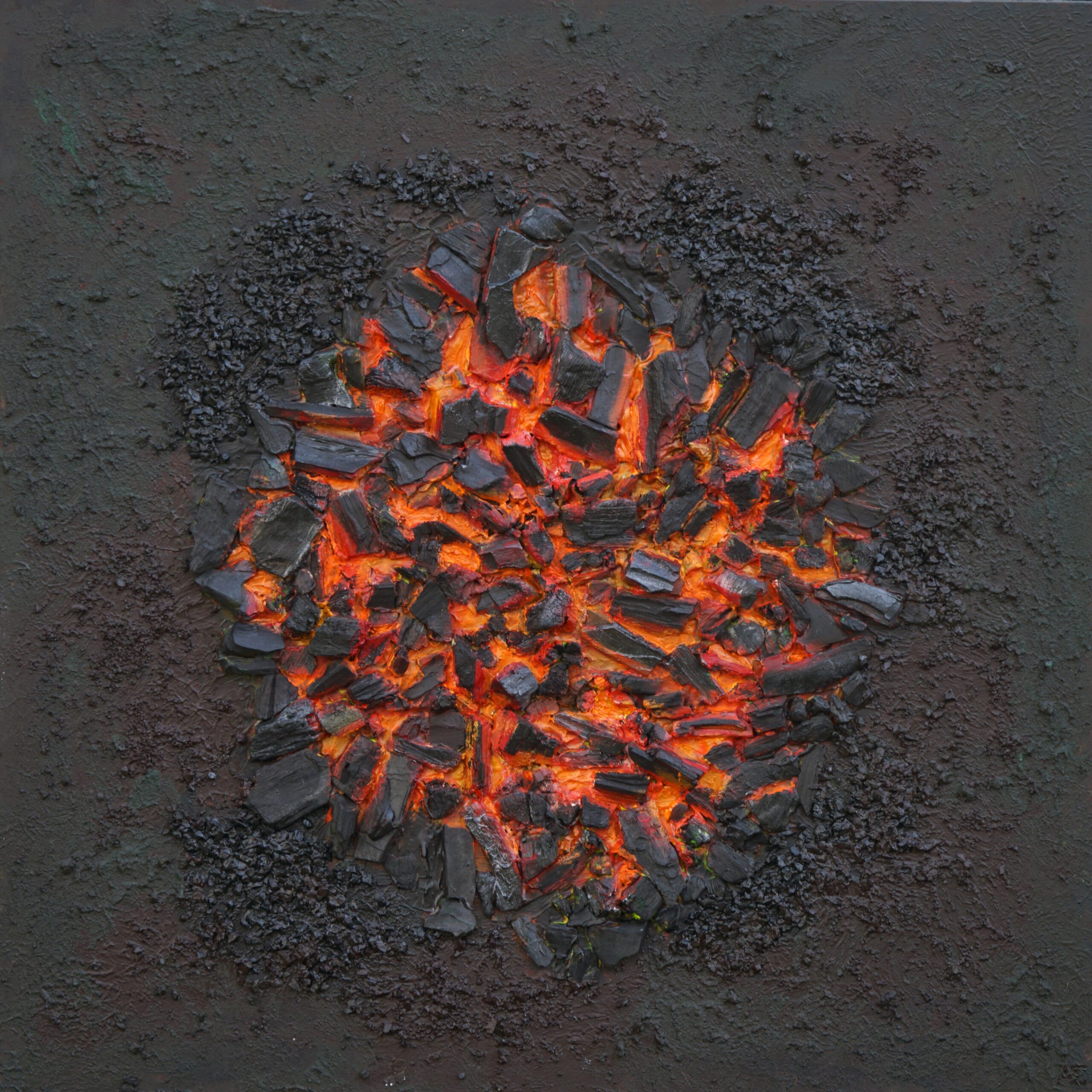
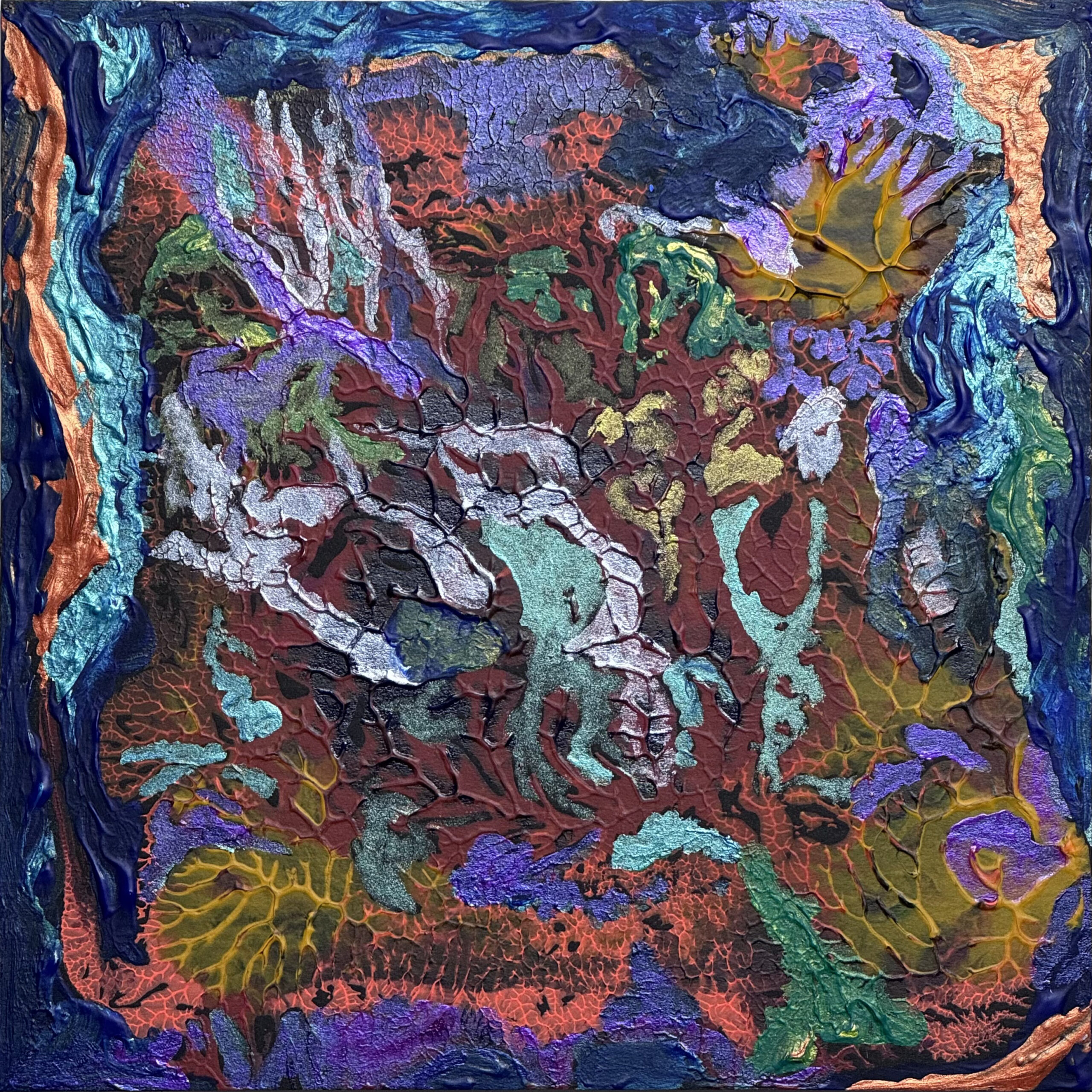
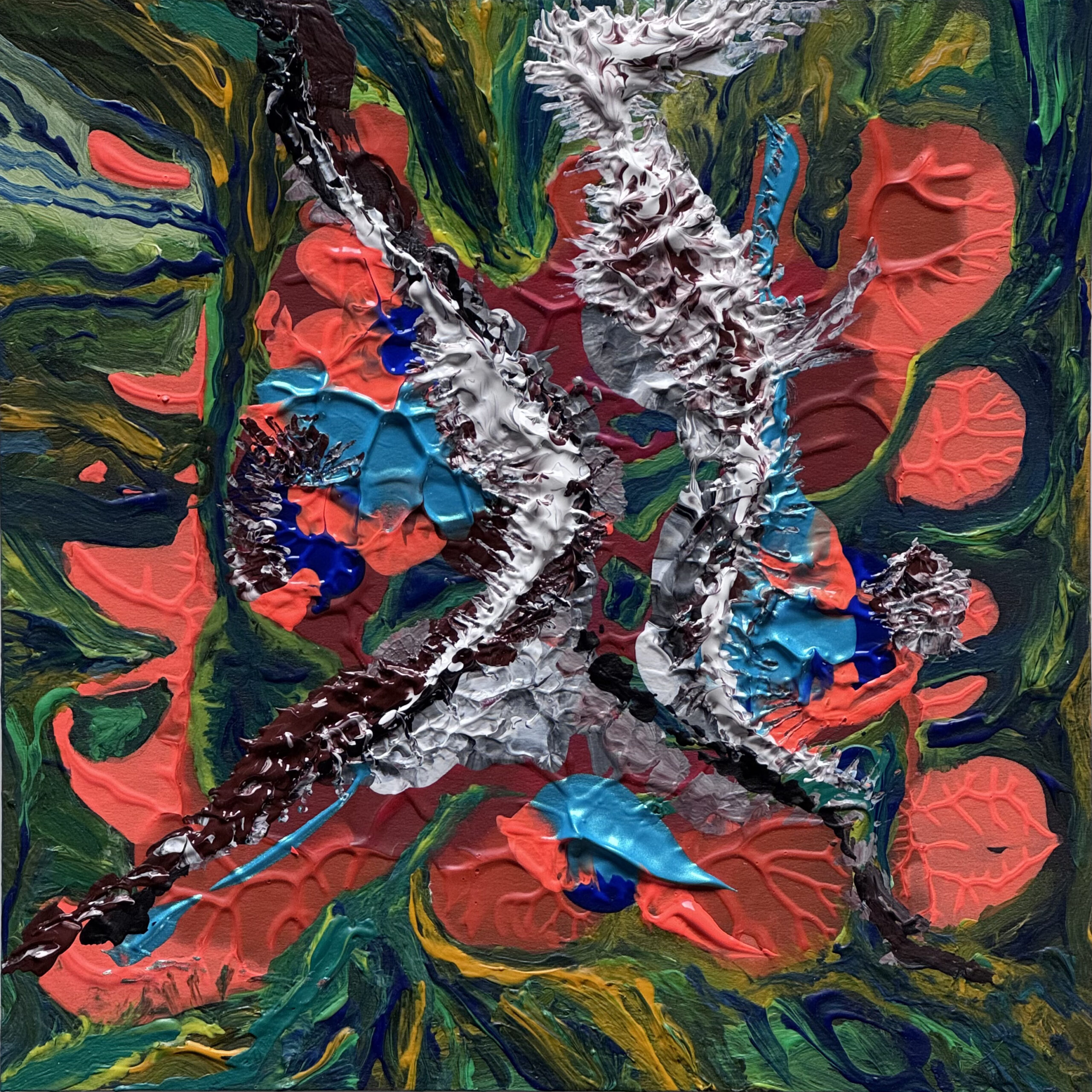
Top View 014 – Lakes of Ounianga, Chad, acrylic on canvas 100x80cm
If you take the coordinates 19°05’N 20°30’E in Google Maps or Google Earth, you will land right there in the Chadian desert, just above this fantastic lakes. A Q-code on the original acrylic painting leads the viewer there.
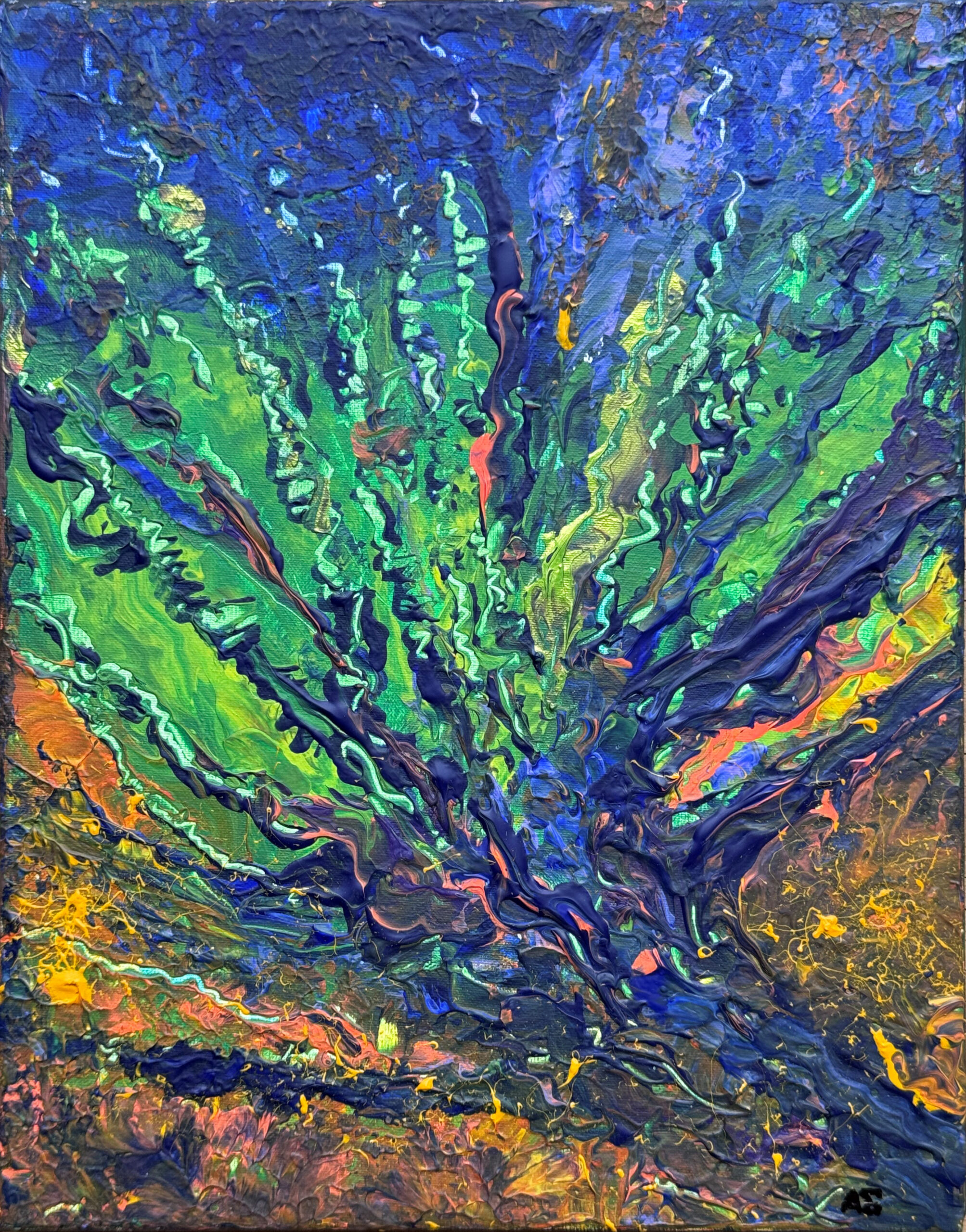
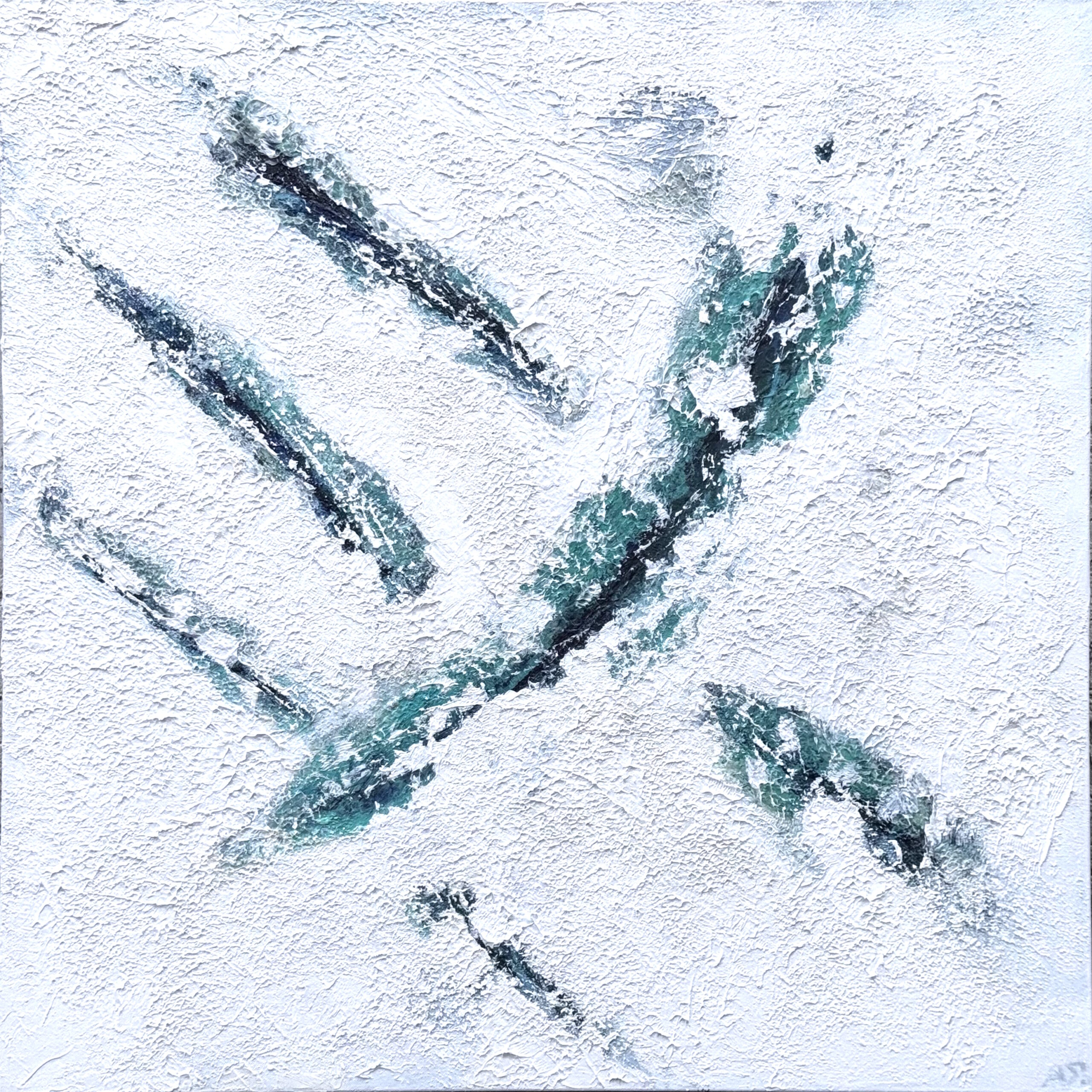
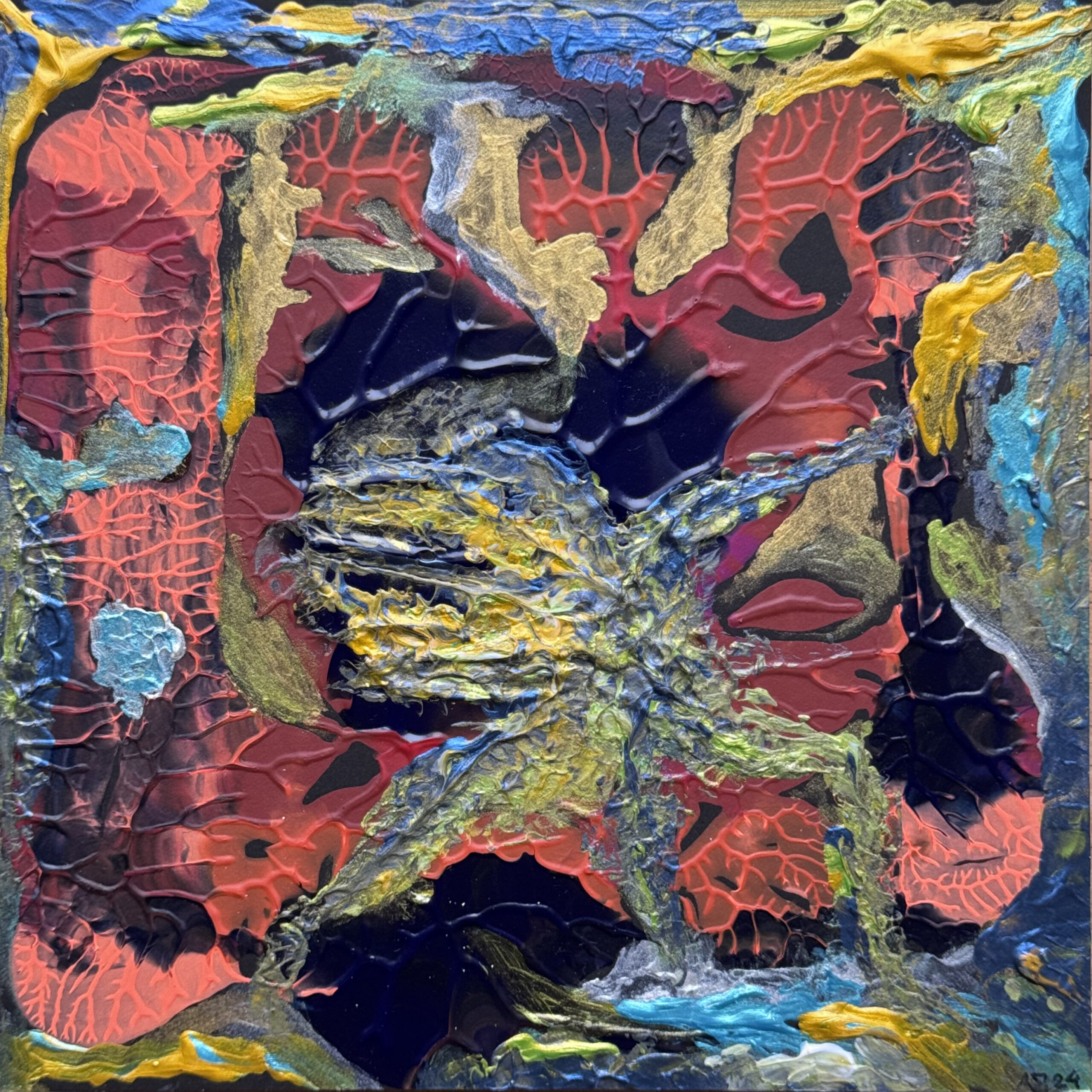
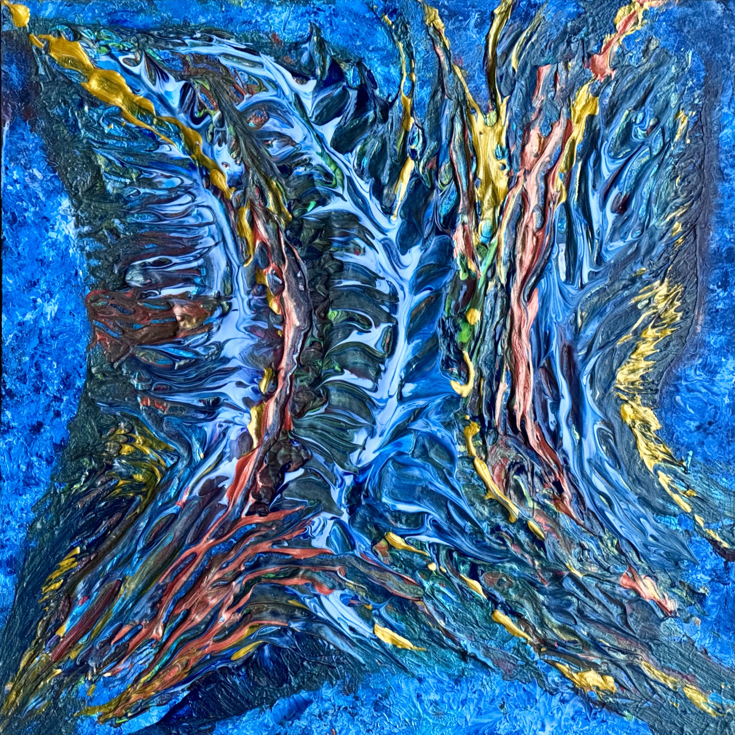
Here's another view of Earth from above. This image is based on a real satellite photo. It shows a region in Russia - Yarkution - and features Sacha Lena. The position is 72°42 N 127° E. Enter this in Google Earth or Google Maps and you'll find the location from which the false-color image originates. Of course, the landscape will then look significantly different in true color.

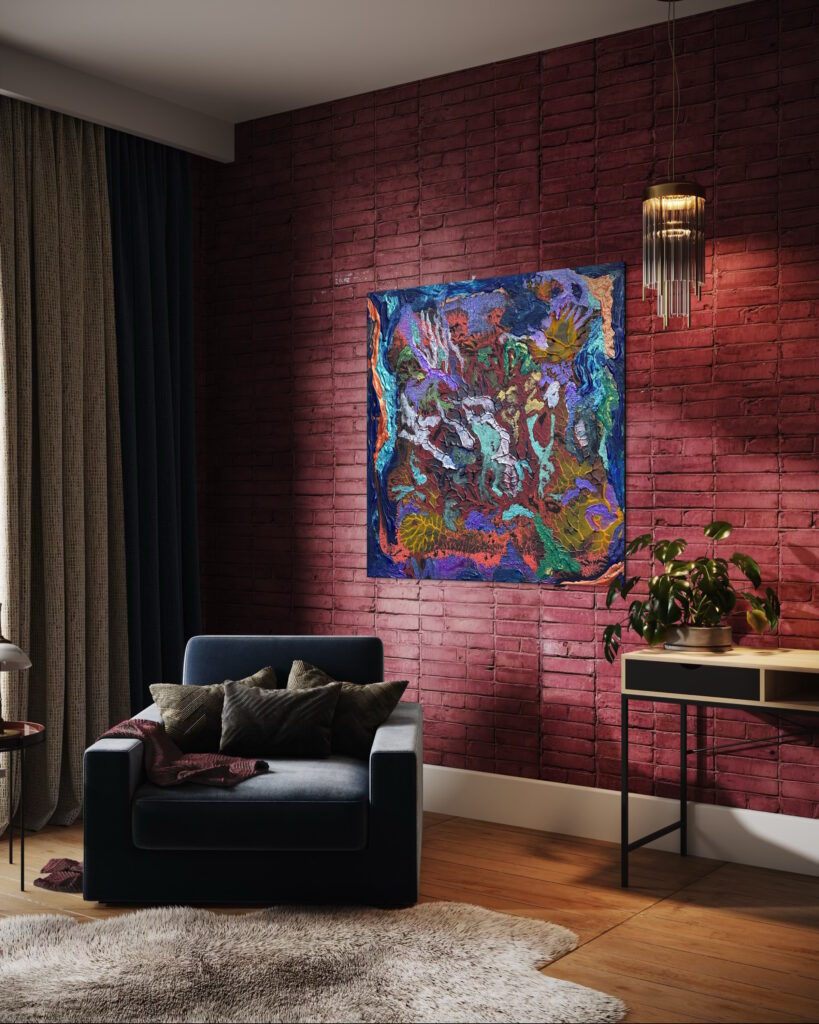
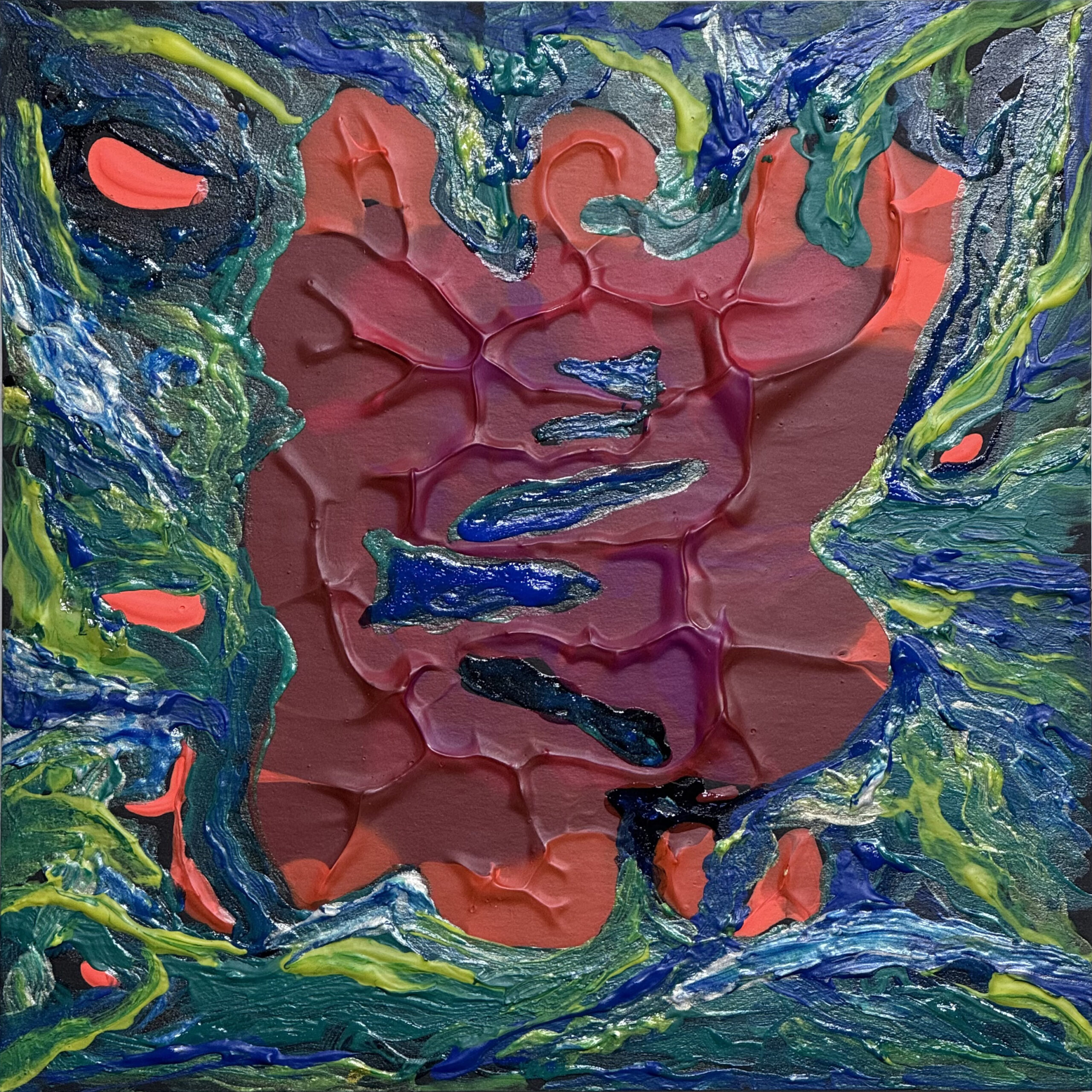
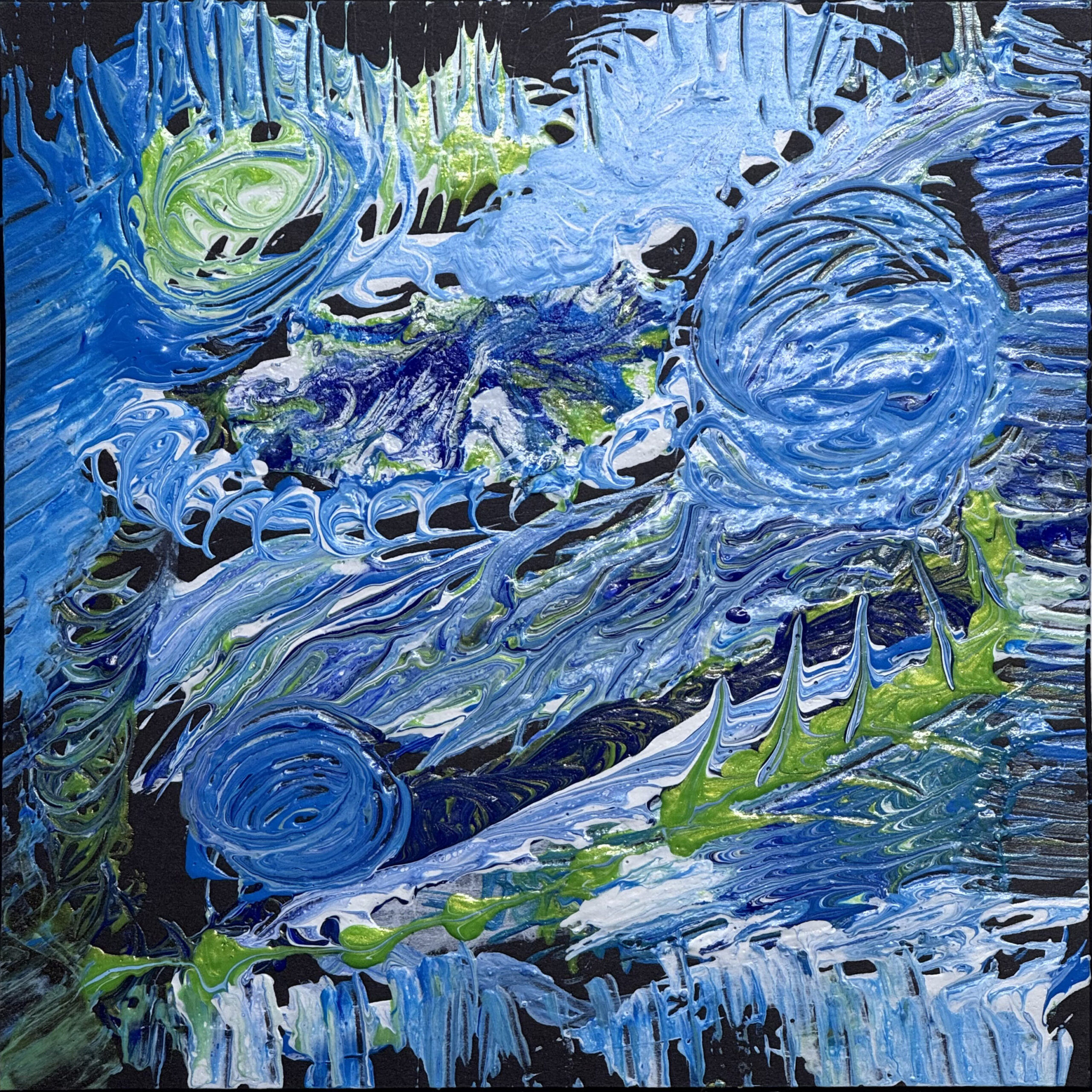
This is what the small pictures look like when grouped together, each 20x20cm.
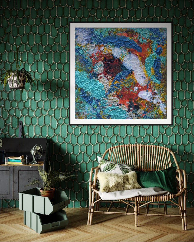
As art prints up to 1 x 1 m they appear very three-dimensional.