In my series "Earth Top View," I either observe moments that take place very close up, like a waterfall or birds flying over a beach, or I venture into space and look through the eyes of a satellite at events on Earth, at specific regions or structures, processes documented by off-color images. This always reveals an imaginatively impressive view of planet Earth.
Close-up: Embers – Crevasses – Blue Cascade
Imaginative satellite images in off-color depict fantastic structures on our planet Earth. This new series elevates the view from above to a higher level. Satellite images, some in off-color, offer ample inspiration for a fantastic view of our fascinating planet Earth. The small-format works "Earth Top View" 001 – 006 shown here measure 20x20cm and are mounted on an MDF block.

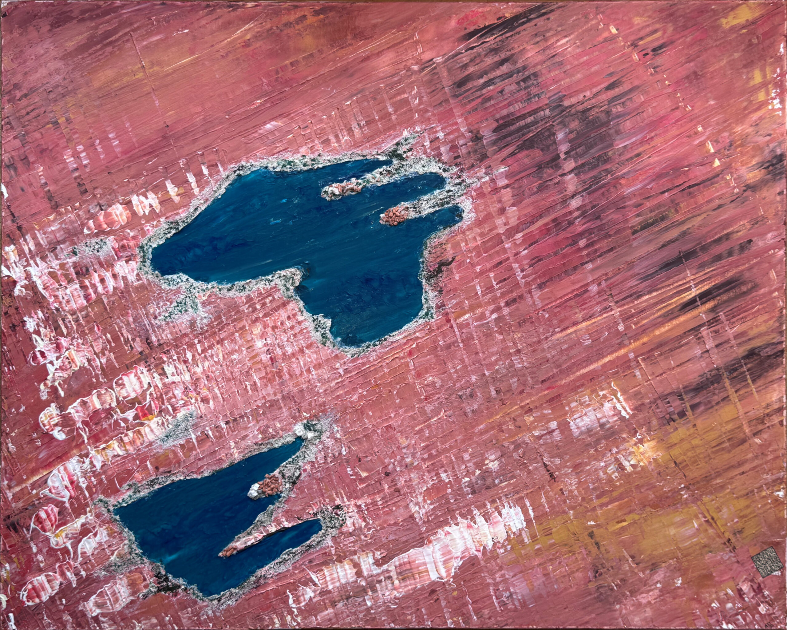
Top View 014 – Lakes of Ounianga, Chad, acrylic on canvas 100x80cm
If you take the coordinates 19°05’N 20°30’E in Google Maps or Google Earth, you will land right there in the Chadian desert, just above this fantastic lakes. A Q-code on the original acrylic painting leads the viewer there.

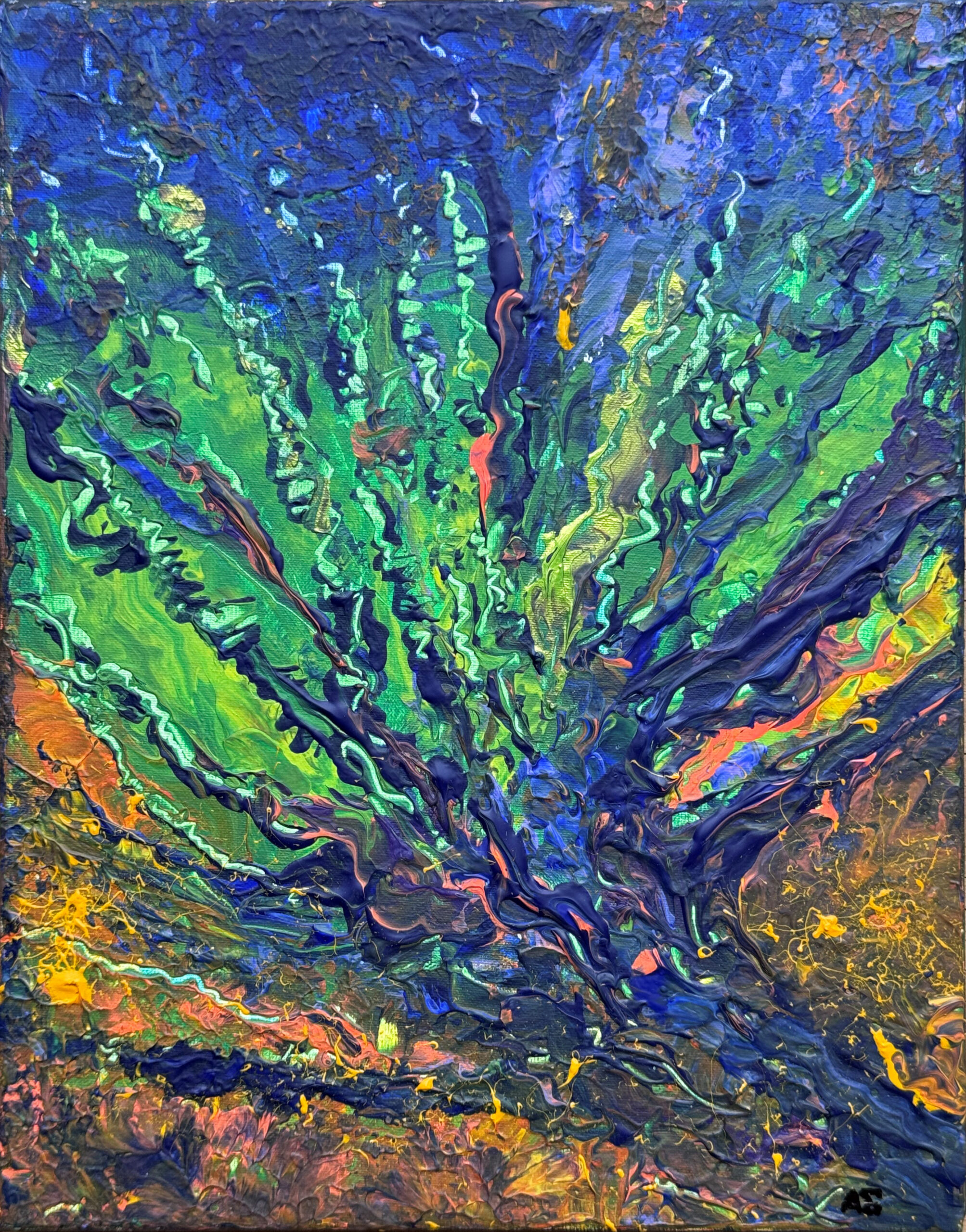
Here's another view of Earth from above. This image is based on a real satellite photo. It shows a region in Russia - Yarkution - and features Sacha Lena. The position is 72°42 N 127° E. Enter this in Google Earth or Google Maps and you'll find the location from which the false-color image originates. Of course, the landscape will then look significantly different in true color.

This is what the small pictures look like when grouped together, each 20x20cm.
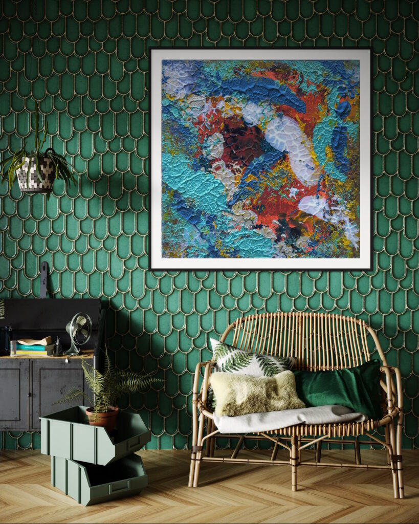
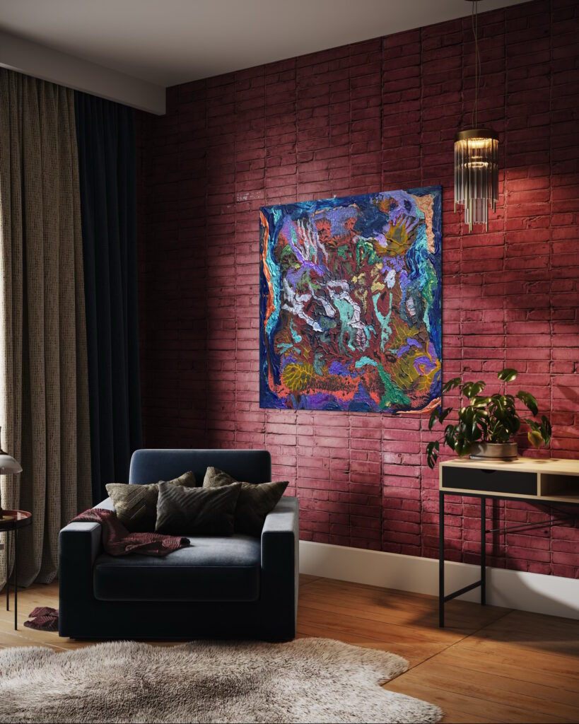
As art prints up to 1 x 1 m they appear very three-dimensional.

